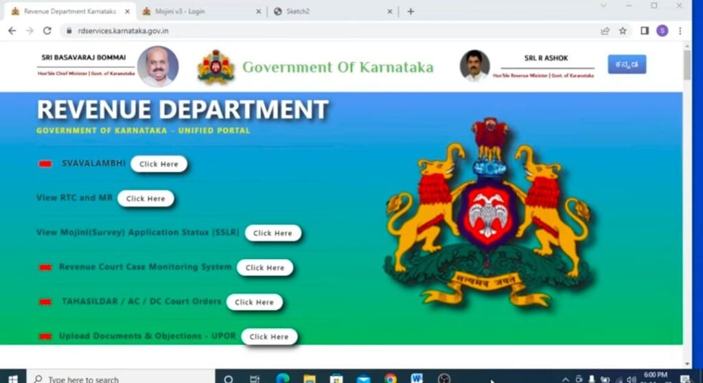
Mojini V3 is a cutting-edge digital platform developed by Karnataka’s Department of Survey, Settlement, and Land Records (SSLR). Its purpose is to revolutionize land records management and provide various land-related services to the citizens of Karnataka. Here are some key features of Mojini V3:

- Application Status: Users can check the status of their land-related applications by entering the application number. No need to visit government offices for updates.
- View Sketches: Mojini allows users to view 11E sketches, alienation sketches, and phodi sketches.
- Revenue Maps: Access village maps and Mojini dispute reports.
- MIS Reports: Generate Mojini Management Information System (MIS) reports.
- Request for Land Survey: Apply online for 11E (pre-mutation sketch), land conversion sketch, Haddubasthu, and Thathkal podi by paying the fee online.
- Right to Information (RTI): Obtain information under the RTI Act by contacting the designated public information officer at the Directorate.
For more details, you can visit the Project Mojini Website.